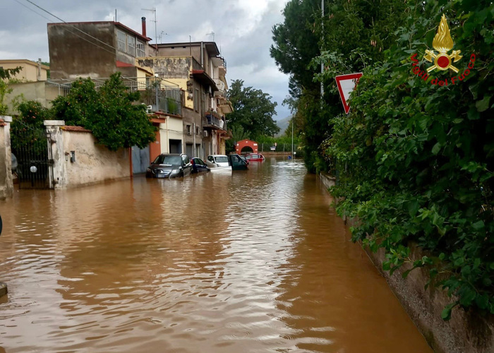
A “train of storm fronts” is set to hit Italy this week, bringing a long spell of bad weather, weatherman Antonio Sanò said on Monday.
Sanò, director and founder of the iLMeteo.it website, said a wave of cyclones is poised to move in from the Atlantic, bringing heavy rain to all parts of the country.
The northwest is expected to see more rain, as well as snow over Alpine high ground, while many spots in the centre of Italy will also see showers, Sanò said.
However the first big front is expected to hit Italy on today and on Wednesday, with downpours moving down from the north to the centre, as far as the lower Tyrrhenian coasts. Snow is anticipated in the Alps and Apennines, while the south will be relatively dry.
Unusually high sea temperatures will feed energy into “imposing storm cells”, Sanò said, which will unleash huge quantities of water onto the ground over a few hours.
After a partial truce on Thursday, a second dangerous cyclone will move in on Friday and Saturday, bringing widespread and abundant showers, including local thunderstorms, Sanò said.
There will also be more snow over high ground towards the end of the week.


